From GPS to Multi GNSS
In 1978, the first American satellite was launched into an earth orbit. Since then, determining one’s own position has been possible with this global satellite system. The term GPS (Global Positioning System) has since become the standard synonym for all satellite-based navigation systems. But the reason why it is incredibly important to talk about GNSS (Global Navigation Satellite System) nowadays and why Multi GNSS enables a major increase in the performance of inertial navigation systems is explained in this whitepaper.
The Challenge
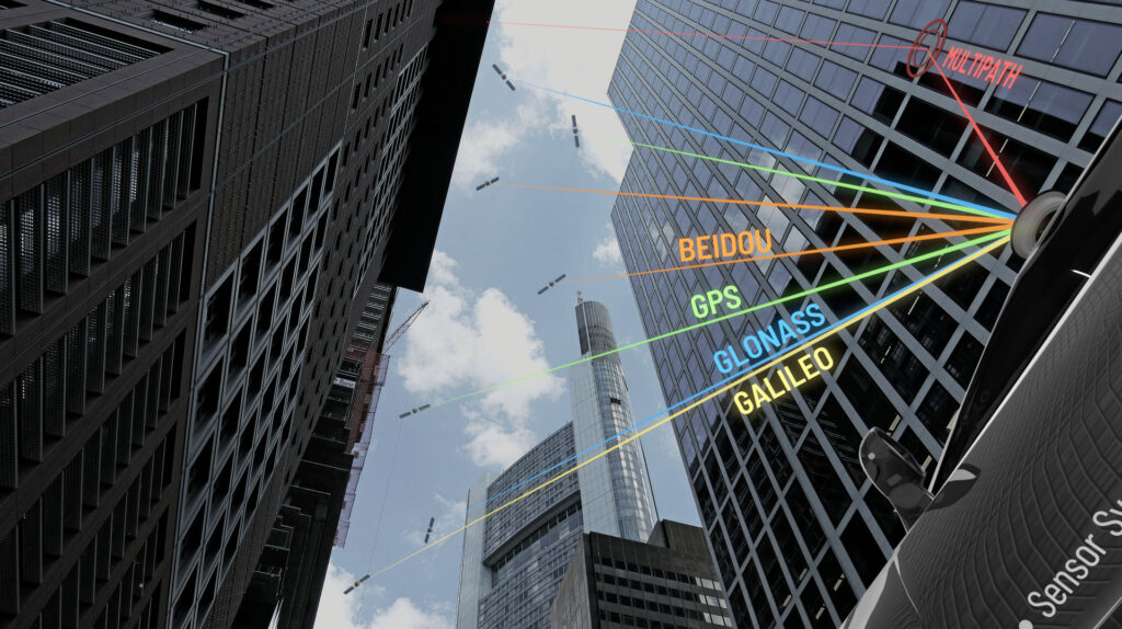
GNSS stands for Global Navigation Satellite System and includes the satellite systems GPS, GLONASS, GALILEO and BEIDOU. For a valid and very precise position solution, the GNSS receiver requires at least 6 different satellite signals. Modern GNSS receivers are capable of using all satellite systems simultaneously and intersecting the best satellite signals in each position. This enables navigation in situations where one satellite system alone would not be adequate, such as in urban canyons or tree-lined avenues. The situation becomes particularly critical when the GNSS receiver receives reflected satellite signals: the so-called multipath effect. In such cases, the receiver may include incorrect information when calculating the position solution, resulting in decreased accuracy. The more satellites the GNSS receiver can use for solution determination, the greater the likelihood of compensating for or eliminating these multipath effects.

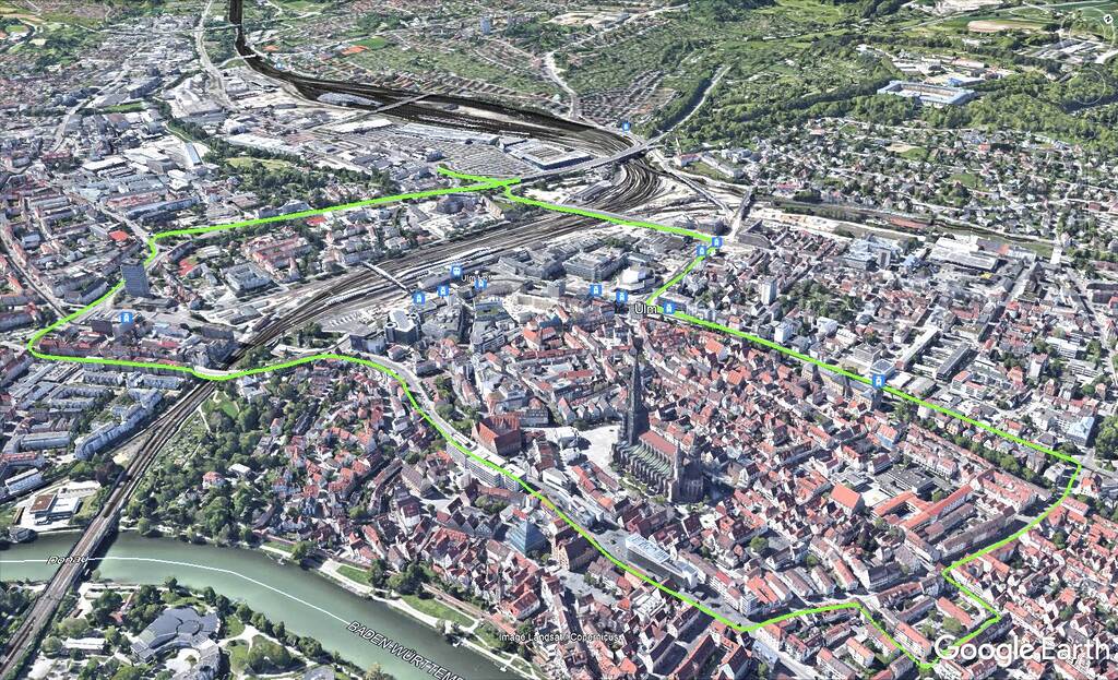
To put theory into practice, a vehicle was equipped with two inertial systems (ADMA-G) and measurement data was generated in a real environment with harsh conditions. Urban space is playing an increasingly greater role in the automotive industry and is proving to be the biggest challenge for GNSS receivers. For this reason, the measurement drive will be taken through the city center of Ulm in Germany with Multi GNSS enabled.


